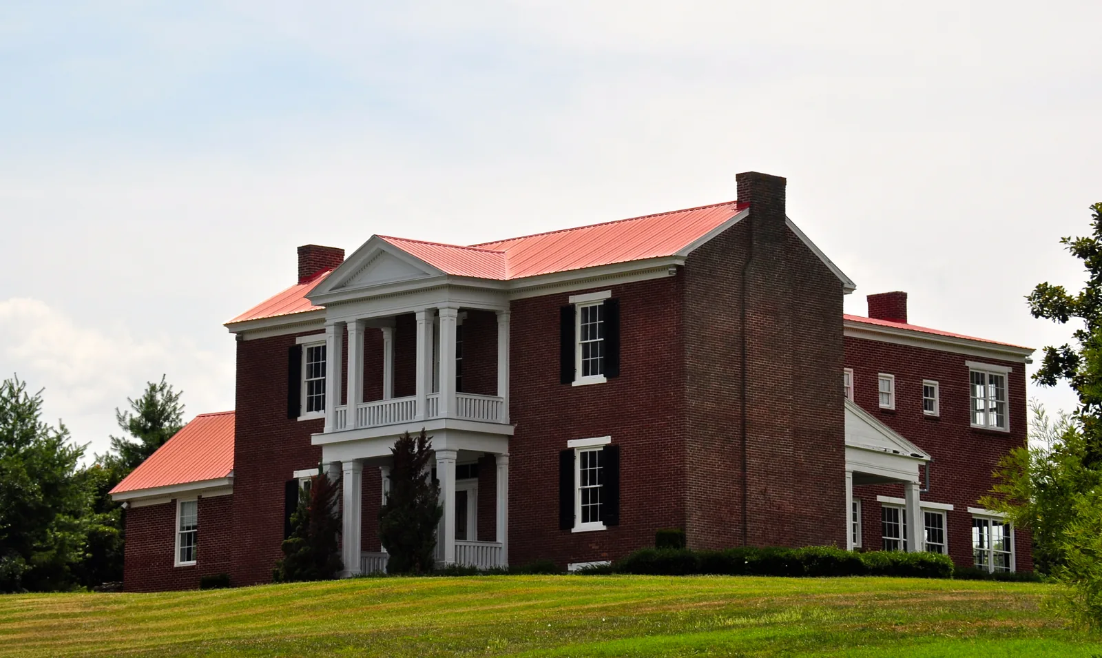
East of I-65 between Moores Lane and Murfreesboro Road, homes split among Centennial, Ravenwood and Page high schools. ZIP 37067: $941,539 in September.
Last checked Oct. 17, 2026. Sources: the City of Franklin’s Envision Franklin plan, its subdivision and school boundary layers and park pages; the Franklin Special District’s school zones list; the Tennessee Department of Education’s 2024-25 letter grades; Zillow Research; and OpenStreetMap.
East of I-65, Carothers Parkway runs north and south past offices and corporate headquarters, with neighborhoods behind them reaching toward Wilson Pike. The city’s plan, Envision Franklin, traces the office growth to Nissan’s 2005 decision to build its North American headquarters “along the newly constructed Carothers Parkway in Cool Springs,” and names Eastworks, Franklin Park, McEwen Northside and Ovation as mixed-use developments here. The largest neighborhoods on the city’s subdivision map are McKays Mill (1,317 approved homes, 1997), Ovation (950, 2014), Avalon (446, 2002), the Cool Springs East sections (1995-99) and Franklin Park (350, 2012).
What this means for you
- Zoned high school: split three ways. Centennial High (McKays Mill, Ovation), Ravenwood High (Cool Springs East, Franklin Park, Avalon) or Page High (the streets near Clovercroft Road), all in the 2023 boundaries. Centennial and Ravenwood were graded A for 2024-25, Page B.
- Home value: $941,539 in ZIP 37067 in September 2026, according to the Zillow Home Value Index.
- Nearest I-65 exit: exit 67 (McEwen Drive), about 2.9 miles by road from McKays Mill.
Part of our Franklin neighborhoods guide.
Where it is
For this guide the area runs east from I-65 to the city limit near Wilson Pike (State Route 252), and from Moores Lane south to Murfreesboro Road. Carothers Parkway, East McEwen Drive, Cool Springs Boulevard, Liberty Pike and Clovercroft Road cross it. All of it is in ZIP code 37067. OpenStreetMap names places such as Jamestown, Carriage Hills and Clovercroft at its edges, some of them outside the city limit.
The plan encourages “taller structures” around the I-65 interchanges and along Carothers Parkway north of Liberty Pike, and says its height map was adjusted along Cool Springs Boulevard, Carothers Parkway, General George Patton Drive and McEwen Drive “to ensure new development is lower-scale and contextual.”
Schools
This is the most divided part of Franklin for schools. Most of it is outside the Franklin Special District and attends Williamson County Schools; the zones below are from the 2023 board-approved boundaries on the city’s planning map. Grades are each school’s overall letter grade on Tennessee’s 2024-25 state report card.
| Neighborhoods | Elementary | Middle | High |
|---|---|---|---|
| McKays Mill, Ovation, Garden Club Estates | Clovercroft (A) | Page (A) | Centennial (A) |
| Cool Springs East, Franklin Park, Ashton Park | Kenrose (A) | Woodland (A) | Ravenwood (A) |
| Avalon, Avalon Square, Breezeway | Clovercroft (A) | Woodland (A) | Ravenwood (A) |
| Village of Clovercroft, Amelia Park, Hurstbourne Park, Silver Grace | Trinity (A) | Page (A) | Page (B) |
| Hadden Hall (McKays Mill), inside the FSD | Liberty (B) | Freedom Intermediate (B), Freedom Middle (A) | Centennial (A) |
School addresses: Clovercroft Elementary, 9336 Clovercroft Road; Trinity Elementary, 4410 Murfreesboro Road; Kenrose Elementary, 1702 Raintree Parkway, Brentwood; Woodland Middle, 1500 Volunteer Parkway, Brentwood; Page Middle and Page High, 6262 and 6281 Arno Road; Ravenwood High, 1724 Wilson Pike, Brentwood; Centennial High, 5050 Mallory Lane. By the city’s dwelling counts, about half the homes are zoned for Centennial, about a third for Ravenwood and a tenth for Page. Check one address in the WCS zoned school finder. More in our schools guide.
Home values and taxes
The typical home value in ZIP code 37067 was $941,539 in September 2026, up 3.0% from $913,924 in September 2025, according to the Zillow Home Value Index. The index is a modeled typical value for the middle third of homes, not a sale price, and 37067 also covers Cool Springs west of I-65, so it is not a figure for this area alone. The City of Franklin figure was $913,277, up 3.0%.
Outside the FSD, the 2026 combined city and county rate is $1.566 per $100 of assessed value; the FSD section pays $2.2433, according to the Williamson County Trustee. More in our home prices and property taxes guides.
Parks and trails
- Liberty Park, 2080 Turning Wheel Lane off Liberty Pike: 84.6 acres with three tournament baseball fields, a 10-hole disc golf course, the Freedom Run Dog Park, a playground and a concession stand. The park’s bridge is closed until further notice, according to the park page.
- Mountain bike trails at Mosby and at Columbia State Community College, both on the city’s park layer near Liberty Pike.
More in our parks and trails and walking and biking trails guides.
Getting around
- Interstate: I-65 exit 67 (McEwen Drive) is about 2.9 miles by road from McKays Mill; exit 68 (Cool Springs Boulevard) is about 3.1 miles and exit 65 (Murfreesboro Road) about 3.2.
- Downtown: about 5.9 miles by road to the Public Square.
- Airport: about 20.2 miles by road to Nashville International Airport (BNA).
- Bus: on weekdays Franklin Transit’s Blue Route runs to Carothers Parkway and Cool Springs Boulevard, Columbia State Community College and Williamson Medical Center, 4321 Carothers Parkway, according to Franklin Transit.
Distances are measured on the OpenStreetMap road network with the OSRM routing engine; they are distances, not drive times. More in our getting around guide.
Groceries and everyday stores
From OpenStreetMap:
- Publix, 1400 Liberty Pike.
- Publix, 8105 Moores Lane, at the north end near Wilson Pike.
- Walgreens, 9100 Carothers Parkway, and CVS Pharmacy, Carothers Parkway.
- Walgreens, 1509 Murfreesboro Road, at the south edge.
How we drew this area
The area is Franklin east of I-65 between Moores Lane and Murfreesboro Road, along the Carothers Parkway corridor described in Envision Franklin, checked Oct. 17, 2026. Dwelling counts are the approved totals on the city’s subdivision layer. Store locations are © OpenStreetMap contributors.
Frequently asked questions
What high school is McKays Mill in Franklin zoned for?
In the 2023 Williamson County Schools boundaries, McKays Mill is zoned for Clovercroft Elementary, Page Middle and Centennial High. The Hadden Hall section is inside the Franklin Special District, zoned for Liberty Elementary.
Which parts of Franklin are zoned for Ravenwood High?
In the 2023 boundaries on the city’s planning map, the Franklin neighborhoods east of I-65 near Cool Springs Boulevard and McEwen Drive, including Cool Springs East, Franklin Park, Ashton Park and Avalon, are zoned for Ravenwood High in Brentwood.
What is at Liberty Park in Franklin?
Liberty Park, on Turning Wheel Lane off Liberty Pike, covers 84.6 acres with three tournament baseball fields, a 10-hole disc golf course, the Freedom Run Dog Park and a playground, according to the city.
Is McKays Mill a good place to live?
Here are the facts. McKays Mill, approved in 1997 with 1,317 homes on the city’s map, is east of I-65 near Liberty Park, zoned for Centennial High, graded A on the 2024-25 state report card; the typical home value in ZIP 37067 was $941,539 in September 2026, according to Zillow.
Have your say