East of I-65 and south of Murfreesboro Road, most homes are zoned for Trinity Elementary and Page High. ZIP 37064: $901,467 in September 2026.
Last checked Oct. 17, 2026. Sources: the City of Franklin’s Envision Franklin plan, its subdivision and school boundary layers and park pages; the Franklin Special District’s school zones list; the Tennessee Department of Education’s 2024-25 letter grades; Zillow Research; and OpenStreetMap.
South of Murfreesboro Road (State Route 96) and east of I-65 is one of Franklin’s newer residential areas. The city’s subdivision map lists Lockwood Glen (638 approved homes, 2016), Simmons Ridge (408, 2016), Water’s Edge (395, 2013) and Echelon (169, 2013), next to the older Falcon Creek (1990), Meadowview Estates (1986), Cannonwood (1993) and Cross Creek (1985). The city’s plan, Envision Franklin, expects more homes “east of Interstate 65 along the Murfreesboro Road corridor” and puts this area at the north end of the Goose Creek Basin, which it says runs south from Murfreesboro Road.
What this means for you
- Zoned high school: Page High, 6281 Arno Road (2024-25 state grade: B), for most homes; Centennial High (A) for the Franklin Special District streets.
- Home value: $901,467 in ZIP 37064 and $941,539 in ZIP 37067 in September 2026, according to the Zillow Home Value Index.
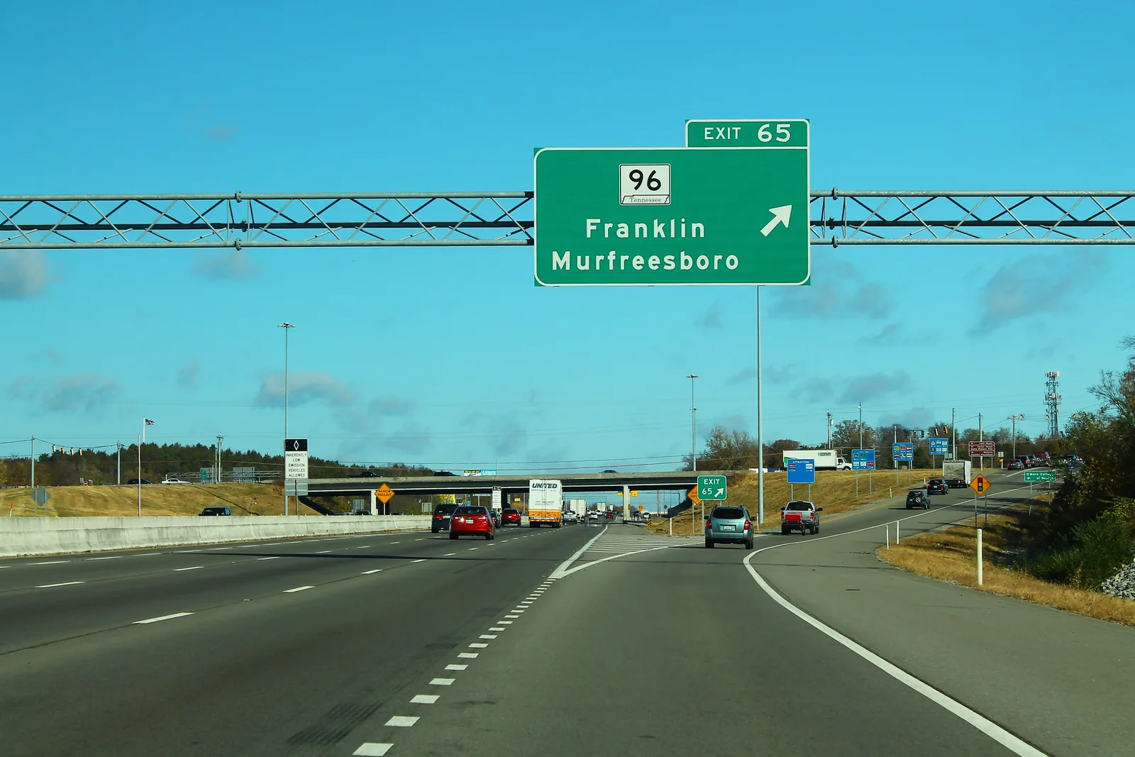
- Nearest I-65 exit: exit 65 (Murfreesboro Road, State Route 96), about 2.1 miles by road.
Part of our Franklin neighborhoods guide.
Where it is
For this guide the area runs east from I-65 to the city limit, and south from Murfreesboro Road to the streets just north of Ladd Park. Carothers Parkway runs south through it, and Long Lane and Clovercroft Road reach east. About two-thirds of the homes are in ZIP code 37064 and the rest in 37067. OpenStreetMap names Franklin East and Cross Creek here. Land east of the city limit is unincorporated Williamson County.
Schools
Grades are each school’s overall letter grade on Tennessee’s 2024-25 state report card.
| Level | School | Address | 2024-25 grade |
|---|---|---|---|
| Elementary (WCS) | Trinity Elementary (Lockwood Glen, Simmons Ridge, Water’s Edge, Falcon Creek, Meadowview Estates) | 4410 Murfreesboro Road | A |
| Elementary (WCS) | Creekside Elementary (Echelon) | 4239 Glossy Hill Road | A |
| Middle (WCS) | Page Middle | 6262 Arno Road | A |
| High (WCS) | Page High | 6281 Arno Road | B |
| Elementary (FSD) | Liberty Elementary (Cannonwood, Carrington Hills, Cross Creek) | 600 Liberty Pike | B |
| Grades 5-8 (FSD) | Freedom Intermediate, then Freedom Middle | 840 Glass Lane; 750 New Highway 96 West | B; A |
| High (WCS) | Centennial High | 5050 Mallory Lane | A |
By the city’s dwelling counts, about four in five homes are zoned for Page High in the 2023 board-approved boundaries on the city’s planning map. Cannonwood, Carrington Hills and Cross Creek are inside the Franklin Special District, and FSD’s zones list marks Lockwood Glen and Falcon Creek as split between FSD and Williamson County Schools, so check the exact address in the WCS zoned school finder and on FSD’s map and zoning page. More in our schools guide.
Home values and taxes
The typical home value in ZIP code 37064 was $901,467 in September 2026, up 2.8% from $877,130 a year earlier, and in 37067 it was $941,539, up 3.0%, according to the Zillow Home Value Index. The index is a modeled typical value for the middle third of homes, not a sale price, and both ZIP codes cover far more than this area. The City of Franklin figure was $913,277, up 3.0%.
Outside the FSD, the 2026 combined city and county rate is $1.566 per $100 of assessed value; inside it, $2.2433, according to the Williamson County Trustee. More in our home prices and property taxes guides.
Parks and trails
- Pearlene M. Bransford Complex: a 180-acre city park between South Carothers Parkway and I-65, planned with an inclusive playground, football and lacrosse fields, an educational walking trail along the Harpeth River and room for a future water reclamation facility, according to the city’s park page, which lists it as under construction.
- Liberty Park, 2080 Turning Wheel Lane, north of Murfreesboro Road: see the Carothers Parkway guide.
- Harpeth River access at Ladd Park at the South Carothers bridge: see the Goose Creek guide.
More in our parks and trails guide.
Getting around
- Interstate: I-65 exit 65 (Murfreesboro Road, State Route 96) is about 2.1 miles by road from Lockwood Glen; exit 67 (McEwen Drive) is about 3.5 miles.
- Downtown: about 4.8 miles by road to the Public Square.
- Airport: about 21.6 miles by road to Nashville International Airport (BNA).
- Bus: the nearest Franklin Transit timepoint is the Blue Route’s weekday stop at Williamson Medical Center, 4321 Carothers Parkway, just north of Murfreesboro Road, according to Franklin Transit.
Distances are measured on the OpenStreetMap road network with the OSRM routing engine; they are distances, not drive times. More in our getting around guide.
Groceries and everyday stores
OpenStreetMap maps no supermarket inside the area. The nearest, from OpenStreetMap:
- Walgreens, 1509 Murfreesboro Road, at the north edge.
- Kroger, 1203 Murfreesboro Road, and Publix, 1021 Riverside Drive, west of I-65.
How we drew this area
The area is Franklin east of I-65 and south of Murfreesboro Road, at the north end of the Goose Creek Basin described in Envision Franklin, checked Oct. 17, 2026. Dwelling counts are the approved totals on the city’s subdivision layer. Store locations are © OpenStreetMap contributors.
Frequently asked questions
What schools serve Lockwood Glen and Simmons Ridge in Franklin?
In the 2023 Williamson County Schools boundaries, they are zoned for Trinity Elementary, Page Middle and Page High. The Franklin Special District lists Lockwood Glen as split, with part of it zoned for Liberty Elementary.
What is the Pearlene M. Bransford Complex?
A 180-acre city park between South Carothers Parkway and I-65 with an inclusive playground, football and lacrosse fields and a walking trail along the Harpeth River, according to the city. Its park page lists it as under construction.
How far is Murfreesboro Road East from I-65?
From Lockwood Glen it is about 2.1 miles by road to I-65 exit 65 at Murfreesboro Road, measured on OpenStreetMap roads.
Is the Murfreesboro Road East area of Franklin a good place to live?
Here are the facts. It is a mostly 2010s area east of I-65 with Lockwood Glen, Simmons Ridge and Water’s Edge, zoned mostly for Page High, graded B, and Trinity Elementary, graded A, on the 2024-25 state report card; the typical home value in ZIP 37064 was $901,467 in September 2026, according to Zillow.
Have your say